
Chandigarh
Temperatures are likely to fall after a spell of rain triggered by a western disturbance over the next two days, the India Meteorological Department (IMD) said on Sunday, almost a week after a change in wind direction brought relief from an intense cold wave in the national capital.
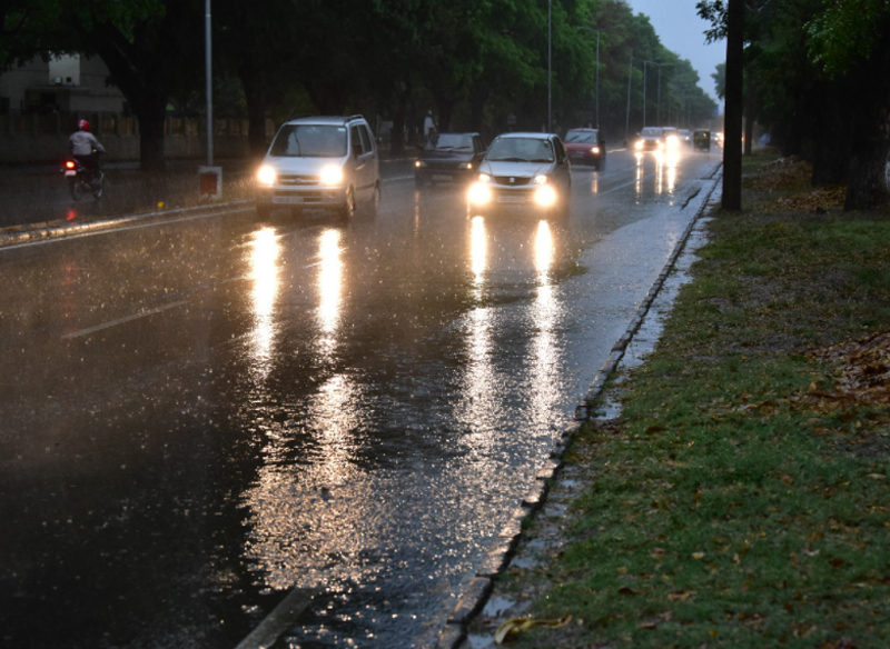
On Sunday, IMD said the expected western disturbance will likely bring rainfall, snow and thundershowers to the western Himalayan region from January 6 to 8. Under the influence of the western disturbance and its induced circulation, scattered to fairly widespread rain is likely over Delhi, Punjab, Haryana, Chandigarh, north Rajasthan and Uttar Pradesh, the forecaster said.
The NCR could see a transition in weather conditions during this period, according to IMD scientists. “Temperatures will not fall immediately in Delhi and NCR. Because of the WD, we are expecting temperatures to go up marginally on January 6, 7 and 8. There will be clouding and showers also in some parts of Delhi NCR on January 8 following which there will be a fall in minimum and maximum temperature for about three days between January 9 and 11,” Kuldeep Srivastava, head of the regional weather forecasting centre, said.
Following a change in wind direction from northwesterly (which brought cold winds from the Himalayas to the northern plains) to easterly (which brings moist air from West Bengal, Bihar, etc. originating in Bay of Bengal) on December 31, the maximum and minimum temperature started rising in many parts of northwest India including Delhi-NCR. But now, the wind direction has again changed to northwesterly, Srivastava said.
Another western disturbance is expected to affect northwest India between January 12 and 15, but it is too early to forecast if it bring showers to the plains. “When there are more WDs approaching, the maximum and minimum temperature will rise again. We have to see how strong the second WD will be,” said K Sathi Devi, head of the National Weather Forecasting Centre.
“Due to clouding associated with the western disturbance, there will be no fall in minimum temperature immediately. Clouds trap the outgoing long wave radiation, making nights warmer. But after the WD passes, from January 9, we may experience very cold nights for a few days leading to a cold wave,” said Mahesh Palawat, vice president, climate and meteorology at Skymet Weather.
The key difference between a cold spell and a cold wave is that the former involves lower-than-normal maximum or day temperatures for 2-3 days in a row, while the latter involves lower-than-expected minimum or night temperatures for at least more than one day. There was relief from the cold spell after wind direction changed to easterly and most parts of northwest India started recording above-normal maximum and minimum temperatures since January 1.
“It’s been relatively warmer because the low cloud layer which didn’t allow sunlight to penetrate for several days in December and made days extremely cold was broken by easterly winds. The easterly winds bringing warm air were strong. With the disappearance of low clouds, sunshine caused maximum temperature to rise. But now, there will be clouding again,” Srivastava said.
IMD said thunderstorm and lightning accompanied with hailstorm is very likely over Jammu and Kashmir, Himachal Pradesh, Punjab, Haryana, Chandigarh, Delhi, north Rajasthan on January 6 and 7; over Uttarakhand from January 6 to 8, and over Uttar Pradesh on January 7 and 8.