
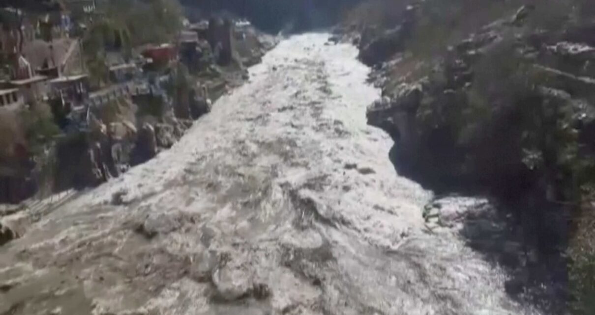
The Uttarakhand tragedy on February 7, was the result of an avalanche that dropped about 27 million cubic metres of rock and glacier ice from the nearby Ronti peak, according to a study by an international team of researchers.
The event began when a wedge of rock carrying a glacier broke off of a steep ridge in the Himalayan mountain range. The resulting debris flow destroyed two hydropower facilities and left more than 200 people dead or missing.
To investigate the cause, scope, and impacts of the disaster, a global team of 53 scientists came together in the days following the tragedy. Dan Shugar at the University of Calgary in Canada and his colleagues used satellite images and sensor data to trace the source of the flood and found that it was triggered by an avalanche consisting of about 80% bedrock and 20% glacier ice that dropped almost 2 kilometres to the valley below, then continued travelling down, picking up trees and other debris along the way.
Initial hypotheses for the cause of the event suggested a glacial lake outburst flood. The study, published in the journal Science on Thursday, suggests that climate change is contributing to such events happening more frequently, and highlights risks of increasing development projects in fragile environments.
The rock and ice avalanche rapidly transformed into an extraordinarily large and mobile debris flow that transported boulders 20 metres in diameter, and scoured the valley walls up to 220 metres above the valley floor, the researchers said.
The finding will help researchers and policymakers better identify emerging hazards in the region. The study used satellite imagery, seismic records, and eyewitness videos to produce computer models of the flow. However, there are no glacial lakes large enough to produce a flood anywhere near the site, the researchers noted.
The team compared the images and topographic maps from before and after the event to document all of the changes and reconstruct the sequence of events.
The team also used satellite image archives to show that previous large ice masses had been dislodged from the same ridge and struck the same valley in recent years. The researchers suggest that climate change is likely increasing the frequency of such events, and that the greater magnitude of the latest disaster should be considered before further infrastructure development in the area.
“These high-mountain rivers are appealing for hydropower projects, and we need a better understanding of the full spectrum of potential high-mountain hazards,” said co-author David Shean, a University of Washington assistant professor of civil and environmental engineering. “We hope that lessons learned from this effort will improve our ability to respond to future disasters and guide policy decisions that will save lives.”