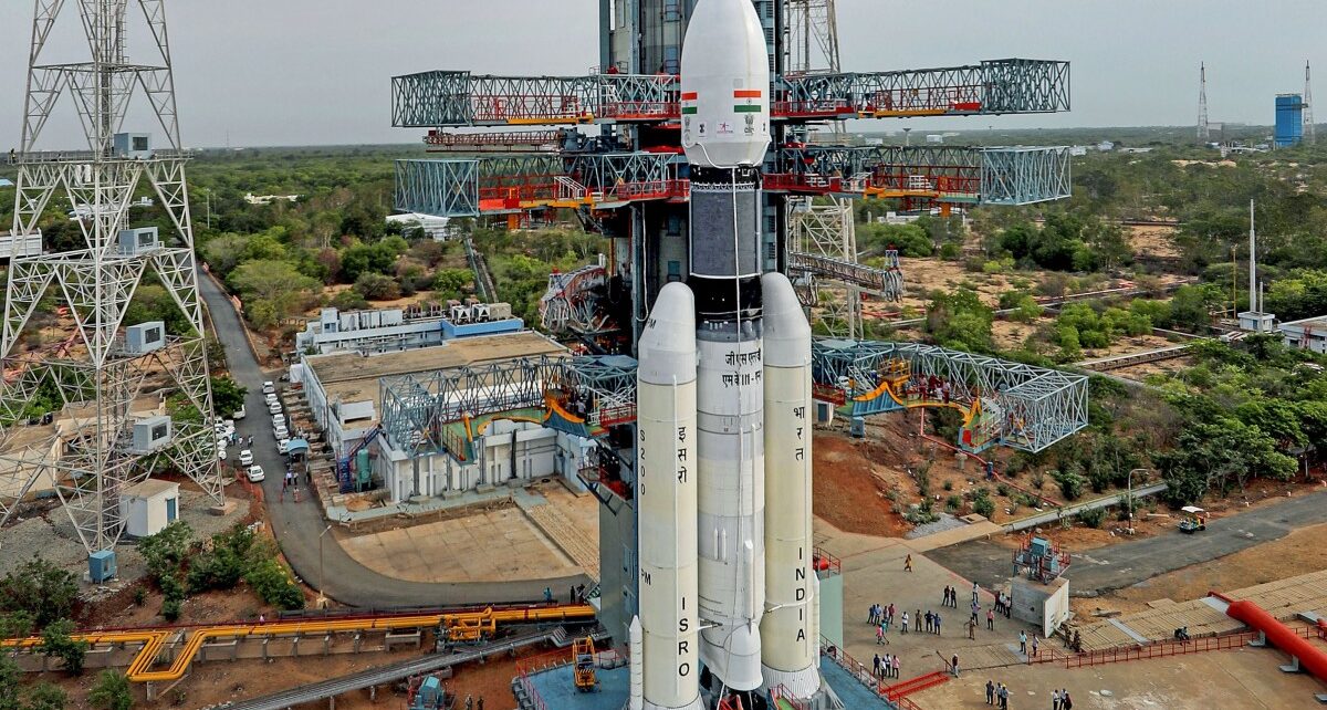
The Indian Institute of Remote Sensing Applications (IIRS) and Indian Space Research Organisation (ISRO) are together organising an online course on Geospatial Technology for Archaeological Studies from May 17 to 28, 2021.
Indian Institute of Remote Sensing (IIRS) under Indian Space Research Organisation (ISRO), Department of Space, Government of India, is a premier Training and Educational Institute set up for developing trained professionals in the field of Remote Sensing, Geoinformatics and GNSS Technology for Natural Resources, Environmental, and Disaster Management.
The course is designed for professionals from central, state government, private organisations and NGOs engaged in hydro-meteorological based regional and national projects. Also, students and researchers aligned to research/working in Disaster Risk Reduction (DRR) activities.
Link to register: https://elearning.iirs.gov.in/edusatregistration/student
One can see the brochure: https://www.iirs.gov.in/iirs/sites/default/files/pdf/2021/77th%20Course%20brochure.pdf
Course Content
- Geospatial Technology for Archeology: Tools and Techniques
- Space-based remote sensing for archaeological studies
- Ground-based geospatial techniques for archaeological/ heritage studies
- Documentation of cultural heritage sites: Case examples
- Low altitude systems for archaeological investigations
- Microwave Remote sensing for archaeological studies: Space and Ground-based
- Demonstration on Terrestrial Laser Scanner
- Space-based studies for Landscape Archaeology
- Advanced image processing based damage assessment of cultural heritage monuments
For further queries, one can reach out to dlp@iirs.gov.in


