Chandigarh has become the first city in the country to use LiDAR( Light Detection & Ranging) technology for GIS mapping of the city. The LiDAR survey data includes high resolution photograph of the entire Chandigarh City covering around 144 sq km. These high resolution photographs contain complete details of roads, building, trees, forest, open areas, parks, water bodies and utilities etc.
This LiDAR data would help in generating the 3d models of the entire city in the form digital elevation model and digital surface model which would further help department(s) in areas like utility management, population growth, encroachment identification, social economic distribution and traffic management etc.
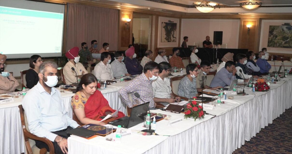
The Department of Information Technology, Chandigarh Administration organized training on LiDAR based GIS mapping of Chandigarh City.
The training was attended by worthy Adviser to Administrator, Sh. Dharam Pal, IAS along with other senior officials of UT Administration. The training was conducted by the Society for Promotion of IT in Chandigarh (SPIC) under the aegis of the Department of Information Technology, Chandigarh Administration from 3.00 PM to 6:00 PM at Hotel Mountview, Sector – 10 Chandigarh.
This training was conducted to sensitize the departments about GIS & LiDAR data and its usage in various departments of UT for better synergies and effective application of LiDAR data.